Enhance your Garmin GPS with BlueChart G3 for Coastal France | Detailed Coverage, Auto Guidance, Depth Shading
Garmin
$229.09
(No reviews yet)

Write a Review
Garmin
Enhance your Garmin GPS with BlueChart G3 for Coastal France | Detailed Coverage, Auto Guidance, Depth Shading
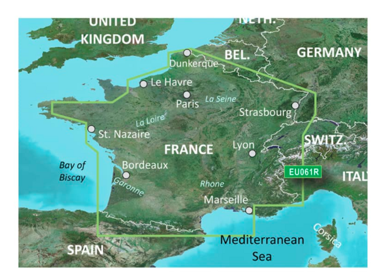
Note: Marine Cartography, BlueChart® G3, Compatible With Garmin GPS Navigation Systems/ Chart Plotters, Detailed Coverage Of Coastal And Interior France, Region Code: HXEU061R, On SD Card, With Auto Guidance Technology/ Depth Range Shading/ Detailed Contours/ Shallow Water Shading
Technical Details
- Compatibility: Garmin GPS Navigation Systems/ Chart Plotters
- Chart Coverage: Detailed Coverage Of Coastal And Interior France
- Storage: On SD Card