Explore The Seas With Garmin NAVIONICS+ Marine Cartography | High-Resolution Mapping, Auto Guidance, 3D Views

Garmin
New
MPN:
010-C1258-20
UPC:
753759289522
In Stock. Receive in 1-4 business days
90-Day Returns Same-Day Shipping on business days No Restock Fee
$189.67
(No reviews yet)
Shipping:
Free Shipping
Current Stock:
Adding to cart… The item has been added

Important: Product images may not represent the actual item and may include generic, demonstrative, or compatibility examples. Please carefully review the product title, description, and specifications to understand what is included in your purchase.

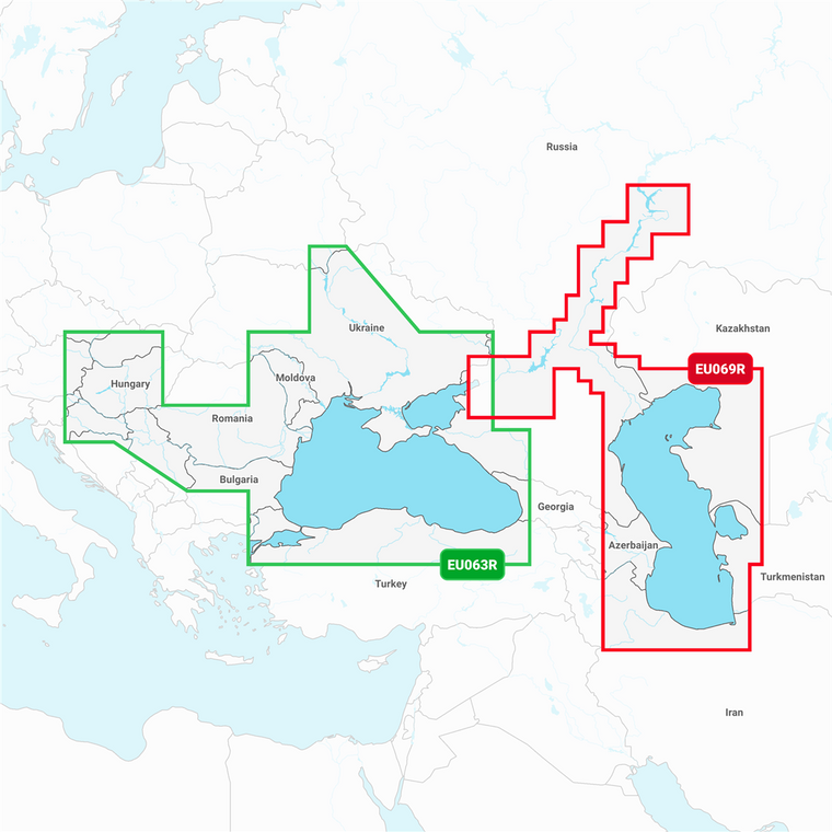
Note: Marine Cartography, NAVIONICS+™, Compatible With Garmin GPS Navigation Systems/ Chart Plotters, Detailed Coverage Of Black Sea And Azov Sea, Region Code: NSEU063R, On SD/Micro-SD Card, With Auto Guidance Technology, High-Resolution Relief Shading, High-Resolution Satellite Imagery, Aerial Photography, 3D Fisheye View, 3D Mariner Eye View And Dynamic Lake Level

Key Features

  • Navigate With The Best Offshore And Inland Lake Coverage For Your Garmin Chartplotter
  • Customize Your View With Various Chart Layers And Overlay Combinations
  • Auto Guidance+™ Technology2 Lets You Navigate With Suggested Dock-To-Dock Routings
  • Access Detail-Rich Mapping Of Coastal Features, Lakes, Rivers And More
  • Integrated Garmin And Navionics® Content Offers Coverage For Boaters Worldwide
  • Built-In Auto Guidance+ Technology2 Gives You A Suggested Dock-To-Dock Path To Follow Through Channels, Inlets, Marina Entrances And More
  • To Give A Clear Picture Of Shallow Waters To Avoid, This Feature Allows For Shading At A User-Defined Depth
  • No Supplier Warranty

Technical Details

  • Compatibility: Compatible With Garmin GPS Navigation Systems/ Chart Plotters
  • Chart Coverage: Black Sea And Azov Sea
  • Storage: On SD/ Micro-SD Card