Ultimate Navigation Partner | Garmin BlueChart G3 HXEU062R Marine Cartography | Detailed Contours, Auto-Guidance, Depth Shading
Garmin
$212.33
(No reviews yet)

Write a Review
Garmin
Ultimate Navigation Partner | Garmin BlueChart G3 HXEU062R Marine Cartography | Detailed Contours, Auto-Guidance, Depth Shading
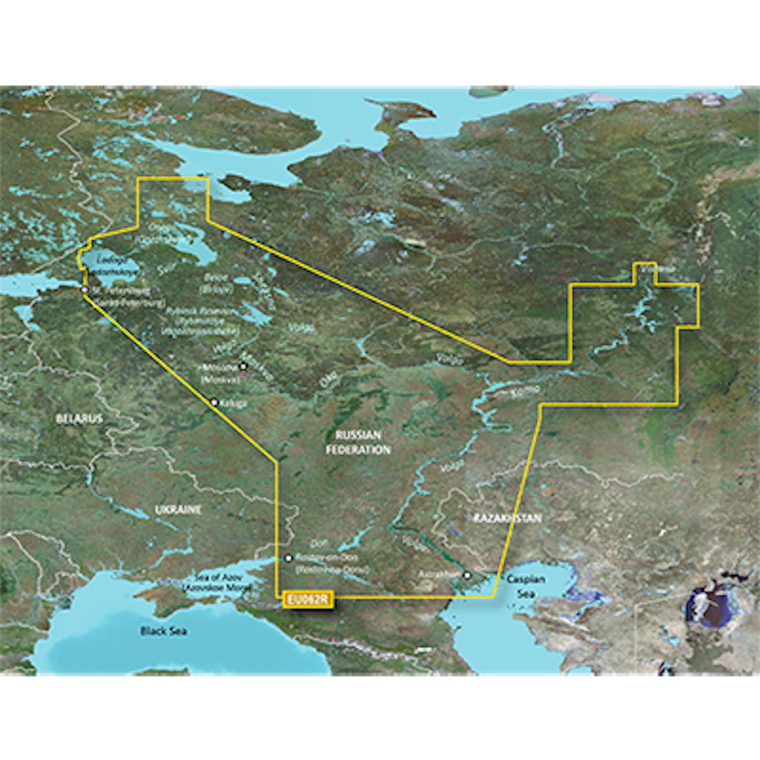
Important: Product images may not represent the actual item and may include generic, demonstrative, or compatibility examples. Please carefully review the product title, description, and specifications to understand what is included in your purchase.
Note: Marine Cartography, BlueChart® G3, Compatible With Chart Plotters, HXEU062R, Detailed Coverage Of Russian Inland Waterways, On SD/Micro-SD Card, With Integrated Garmin/Navionics Content, Auto-Guidance, Depth Range Shading, Shallow Water Shading, Detailed Contours And NOAA Raster Cartography
Key Features
- Highly Detailed Charts With Navionics Data Help Mariners Guide Their Boats In And Out Of Port With Confidence
- Up To 1 Foot Contours Provide A More Accurate Depiction Of The Bottom Structure For Improved Fishing Charts And Enhanced Details In Swamps, Canals And Port Places
- Download NOAA Raster Areas For Free Via The ActiveCaptain ® App To Your Compatible Smartphone To Provide Enhanced Clarity And Consistency
- Auto Guidance Technology Calculates A Suggested Route To Your Destination
- Provides Depth Range Shading For Up To 10 Depth Ranges, Enabling You To View Your Target Depth At A Glance
- Limited One Year Consumer Warranty
Technical Details
- Compatibility: Compatible With Chart Plotters
- Chart Coverage: HXEU062R Russian Inland Waterways
- Storage: On SD/ Micro-SD Card
-
-
-
-
Sale
-
Sale